Case Study: Napa County
Uniting stakeholders by creating shared understanding of Napa County’s agricultural lands
Planning problem
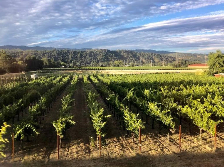
Understanding agricultural lands is important to the Local Agency Formation Commission (LAFCO) of Napa County, which the California legislature designates as managing local governmental boundaries, evaluating municipal services, and protecting prime agricultural lands. State law also requires Napa LAFCO to adopt policies that guide their actions to carry forth these responsibilities. State and regional policies can be complex, full of different definitions and terms, and quickly outdated with the realities on-the-ground. In 2017, Napa LAFCO was updating their policy on Spheres of Influence pertaining to the physical boundary and service area of a local agency that guides how LAFCOs approve boundary changes such as annexations. The staff of Napa LAFCO often faced ambiguous interpretations of that state law outlined and how to reflect updates based on existing land conditions. Until then, it was unclear just how much prime agricultural land was in Napa County. The staff wanted a full overview of all the different types of agricultural and open space lands along with maps to aid in this policy update process, but lacked the GIS analysis capabilities on staff.
How the Greenprint helped
Brendon Freeman and Dawn Mittleman Longoria, staff of Napa LAFCO, turned to the Bay Area Greenprint to access information representing the multiple values in the landscape. The information included the CA Storie Index, a soil rating based on soil characteristics that govern the land’s potential utilization and agricultural capacity, Napa County landscapes’ irrigation capability and watershed designations. Through using the Greenprint, staff found alignment about a richer view of the values in the county’s lands, and how to draft guidelines related to natural assets in their communities. They were also able to use GIS as a tool to illustrate visually to stakeholders resources and values contained within their land and how the policies may impact their lands. “A picture really is worth a thousand words,” said Dawn, referring to how the Greenprint’s maps and dashboards could easily depict local reality to stakeholders, who held strong views about their perceptions of Napa County’s lands. The Greenprint’s dashboard and maps proved to be invaluable in bringing everyone together around a shared view of the actual data. This aided Napa LAFCO staff through difficult discussions and misinformation barriers.
Regional impact
After four years, a revised policy was adopted as a result of the entire Napa County government network concurring around the specific qualities and conditions of their lands, not just misperceived generalities. The Greenprint maps were the magic in this process that brought different perspectives together and promoted mutual understanding of the data that ultimately determined the real opportunities for policy to preserve agricultural and open space lands and promote smart growth for Napa County as a whole.