Case Study: Livermore
Enhancing Connectivity through the PCA program’s Arroyo Road Trail Project
Planning problem
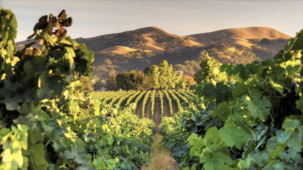
South of the city of Livermore lies Sycamore Grove Regional Park and Lake Del Valle, two popular outdoor recreation spots. However, the 1.4-mile stretch of Arroyo Road that connects them is dangerous due to high-speed traffic, blind curves, and no sidewalks or bike lanes, making it difficult for cyclists and pedestrians to pass safely. To address this issue, the city of Livermore constructed the Arroyo Road Trail project, which involved building a barrier along Arroyo Road to improve safety and connectivity to park facilities and the regional trail network.
How the Greenprint helped
To secure funding for the project, the city of Livermore sought support from the Metropolitan Transportation Commission (MTC) and the Association of Bay Area Governments (ABAG) through the Priority Conservation Area (PCA) Program. Andy Ross, Associate Planner, used the Bay Area Greenprint to determine the project’s size and location, including boundaries, trails, and easements in proximity to the existing parklands associated with PCAs. PCAs are regionally significant open spaces designated for long-term protection. The Bay Area Greenprint was used to create shape files for each report, allowing for deeper analysis of the project area. After submitting the PCA grant application that included this information, the Arroyo Road Trail Project was approved.
Regional impact
With funding secured, the city of Livermore coordinated with Alameda County, the Livermore area recreation and park district, private landowners, and local land trust to complete the project, creating a linkage between Del Valle Regional Park, Ohlone Regional Wilderness, Sunol Regional Wilderness, and Mission Peak Regional Preserve. The new trail also became part of the Juan Bautista de Anza National Historic Trail, one of 30 national trails in the country.